Radar Coverage Tool Web
Model radar detection coverage over real terrain, in your browser.
Free Version
No credit card required
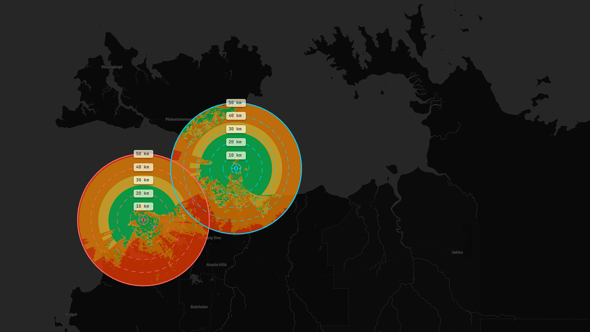
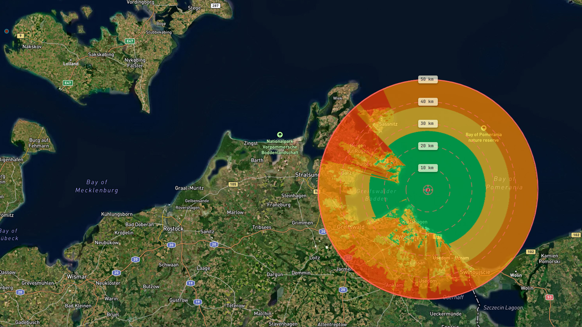
Terrain-aware line of sight
coverage computed against real SRTM elevation data
coverage computed against real SRTM elevation data
Interactive map
place your radar, set height and range, and calculate coverage instantly
place your radar, set height and range, and calculate coverage instantly
Multiple target heights
see detection at sea level, 5 m, 40 m, and 500 m simultaneously
see detection at sea level, 5 m, 40 m, and 500 m simultaneously
Multiple basemaps
street, satellite, nautical, dark, and light map styles
street, satellite, nautical, dark, and light map styles
Get started now — create a free account
Pro Version - £35/mo
Or £350/yr - get 2 months free!
Everything in Free, plus:
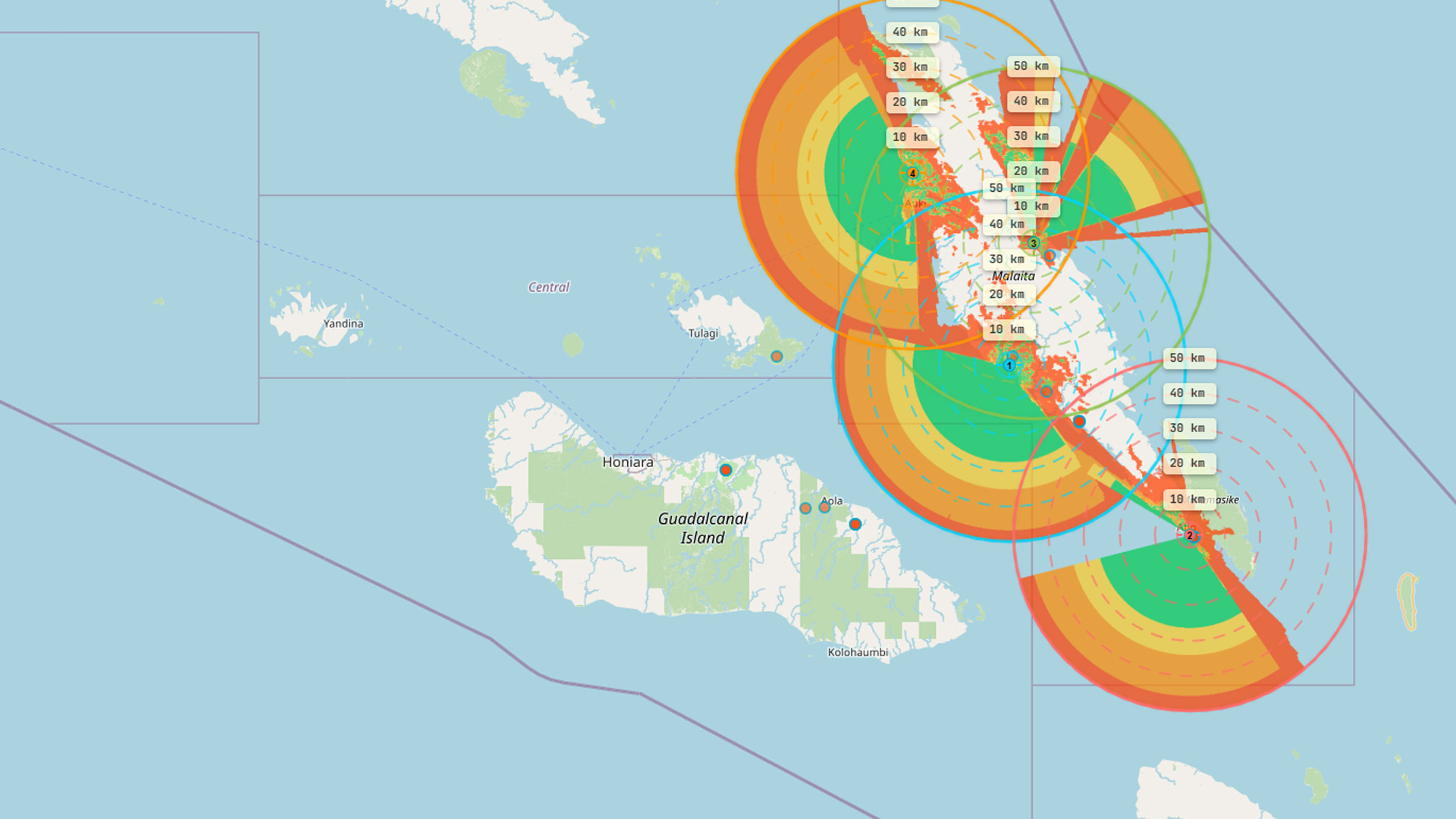
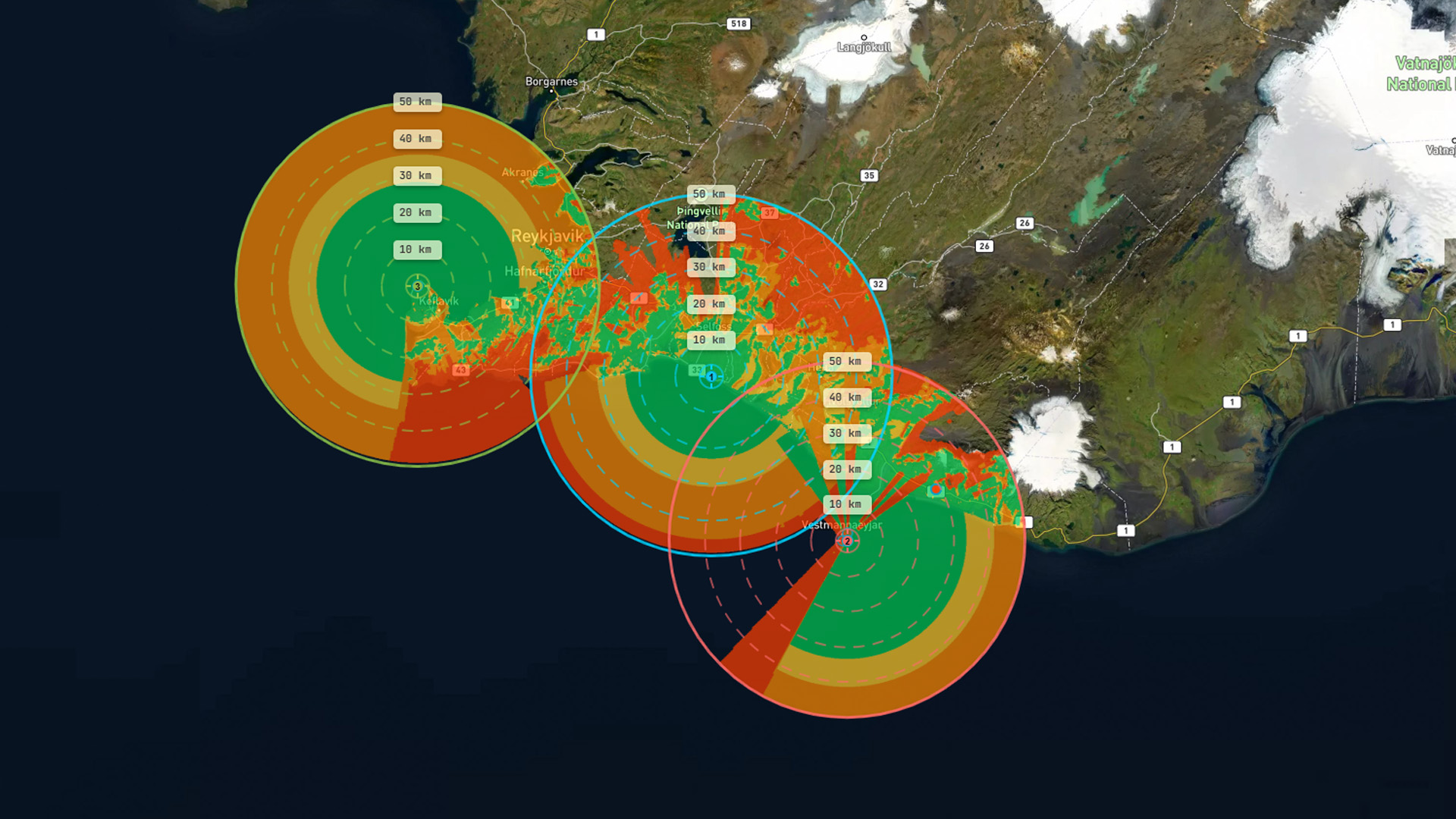
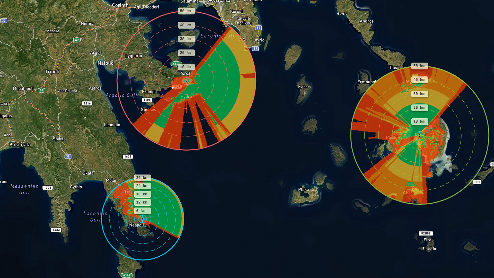
Multi-radar composites
combine up to 10 radars, identify overlap and gaps
combine up to 10 radars, identify overlap and gaps
Radar equation & Pd modelling
detection probability using power, gain, RCS, and Swerling models
detection probability using power, gain, RCS, and Swerling models
Exclusion & clutter zones
with shadow casting and Shapefile/GeoJSON/KML import
with shadow casting and Shapefile/GeoJSON/KML import
Export & share
PNG, PDF, KML export plus shareable read-only links
PNG, PDF, KML export plus shareable read-only links
Save & load scenarios
plus coverage statistics and ROI analysis
plus coverage statistics and ROI analysis
Log in
Welcome back to the Radar Coverage Tool
New to the Radar Coverage Tool?
Create a free account